I did much less blogging on this trip. We were often without a connection, so I just skipped it. Though we didn't blog much, we had a great trip with many fun adventures. I'll do a full recap blog of our travels in our Winnebago Travato.
We've spent the past four summers in Colorado to escape the heat. This summer we were looking for something different, and we decided to make a beeline to California, then go north up the Sierra Nevada Mountains, then cut over and come down the Pacific Coast.
 |
Summer 2025 Trip Plan - 39 days, 5,742 miles
|
The first few days were mostly driving. We did a hike in Flagstaff, and made a return visit to the Petrified Forest. HERE is a more detailed blog from our previous Petrified Forest visit - written by our dog Bebop. |
Flagstaff, AZ
|
 |
Petrified Forest
|
We reached the Owens Valley and headed north, climbing in elevation every day. The first major stop was Lone Pine, CA. During the day we drove up to the Mount Whitney Portal, where hikers depart for the tallest summit in the continental US. We just enjoyed the cool air, streams, and waterfalls at this high elevation site.
 |
Waterfall at Whitney Portal
|
We visited our favorite arch - Mobius Arch. We even found a small arch we named Bebop arch. We also stopped at the Shark Fin.
 |
Shark Fin
|
 |
The Mobius Arch
|
 |
Bebop Arch
|
A blog about our previous visit to Lone Pine and Mobius Arch can be found HERE with additional photos.We then headed up to Mammoth Lakes for a couple of days. We enjoyed hiking around the high mountain lakes and geothermal features, along with a visit to Rainbow Falls, and Devil's Postpile NM.
 |
| Hot Creek Geological Site |
 |
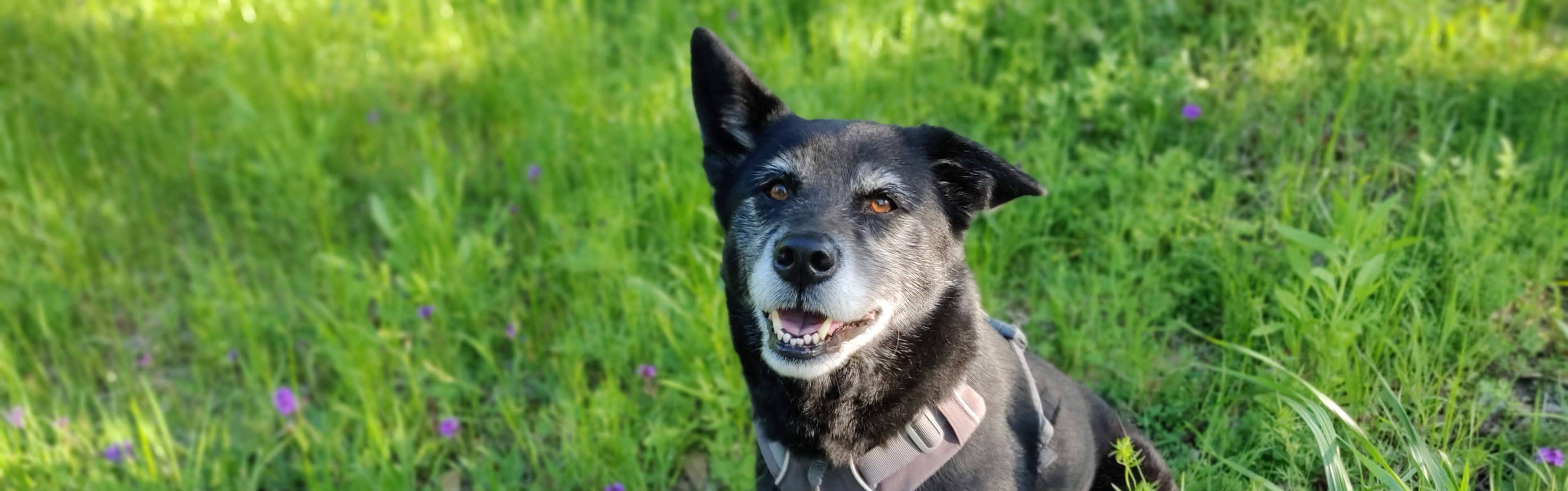
Bebop taking a dip in McLeod Lake
|
 |
Devil's Postpile National Monument - Post Ends
|
 |
Devil's Postpile National Monument -Vertical Columns
|
 |
| Devil's Postpile National Monument - Glacier Polished Tops |
 |
Rainbow Falls
|
 |
| Rainbow Falls |
 |
Minaret Overlook
|
Our next stop was Mono Lake, which has a unique ecosystem. Nothing flows out, so salt and other minerals build up in the lake. The Tufa formations are from gases that were venting under the surface. The lake used to be much deeper until Los Angeles took much of the water from the streams and rivers in the Owens Valley.
 |
Tufa at Mono Lake
|
 |
More Tufa at Mono Lake
|
Next we entered Yosemite National Park for a few days. We did write a blog about that portion of our trip, where you can see many photos.After Yosemite, we headed north to Lake Tahoe, where we spent an evening. We then drove to Lassen Volcanic National Park and took the full drive through the park, staying at two different camp sites.
 |
Cooling our heels in Lake Tahoe
|
 |
Manzanita Lake with Lassen Peak and Chaos Crags
|
 |
Amazing water color in Lake Helen
|
 |
Wildflower in Lassen Volcanic NP
|
 |
Flowers in front of Chaos Crags in Lassen
|
The
most beautiful waterfalls I've ever visited are the falls along Havasu
Creek on the Havasupai reservation (blog link). Today, we found a very nice
runner-up fall in Burney, CA. This 129-foot fall is fed partly by a
creek and partly by an aquifer in the lava beds.  |
Burney Falls, CA
|
 |
Burney Falls
|
 |
Burney Falls
|
We kept our tour of volcanic mountains going with a visit to the Mount Shasta area. We also found another really nice waterfall - Hedge Creek Falls. It's much smaller than Burney, but has a cave behind it, so you can walk around the entire water column. We also hiked along a lovely creek in Castle Crags SP.
 |
Mount Shasta from Lake Siskiyou
|
 |
Mount Shasta
|
 |
Stream in Castle Crags SP
|
 |
Hedge Creek Falls
|
 |
Hedge Creek Falls
|
Did
you every play "The floor is lava?" We are at Lava Beds National
Monument, where the floor is all lava. There are holes in the floor too,
as it has about 900 lava tube caves. We explored a few - it's so cold
down in some tubes that it has ice in the middle of summer.
 |
Lava tube entrance
|
 |
Inside the lava tube
|
A rare northern CA summer rain made for a glowing sunset over our camper van at Lave Beds one evening. |
Our Winnebago Travato camper van
|
We marked the halfway point of both distance
and days on our 39-day trip when we arrived at Crater Lake - the massive crater formed by a volcanic eruption
about 770,000 years ago. It's the deepest lake in the US. Still quite a
bit of snow up at around 7,000 feet, and Bebop enjoyed cooling her
paws (though the air temp was only about 66ºF). |
At Crater Lake
|
 |
Shallow waters turn green
|
 |
Volcanic past
|
After Crater Lake we headed into the redwood forest and the coast of northern California. The redwoods are the tallest trees in the world and logging over the centuries has significantly reduced the population. Fortunately, there are several preserved areas. As we reached the coast, we camped above Agate Beach and hiked down to the beach after dinner.
 |
Big redwood trees
|
 |
Toppled redwood tree
|
 |
Bebop on the beach
|
 |
Elena expressing how chilly her feet are
|
 |
Sunset over the Pacific Ocean
|
We decided to visit the Black Sands Beach in a remote area of
California's Lost Coast. No highway runs along the coast in this
section, so we had to drive a 24 mile "road" to get there. It took about
an hour each way on the narrow, curvy, up-and-down road, but we made
it. The sand is volcanic, and when wet, it is black. That night we were
camped about 32 feet above sea level on the coast along Hwy 1 when the tsunami alert was issued due to the large earthquake near Russia. The
highest reported tsunami wave in our area of CA was under 2 feet (some other CA areas reached 3 1/2 feet). We survived the drive and the tsunami.
 |
Black Sands Beach
|
 |
Walking along Black Sands Beach
|
 |
At Black Sands Beach
|
Our next stop was at the Mendocino Headlands on our way south. The views
were great. And this may be the first time I've said, "I need to get
another layer of clothes on," on July 30th in the middle of the day.
 |
Don't take another step Bebop!
|
 |
Elena at the Mendicino Headlands
|
 |
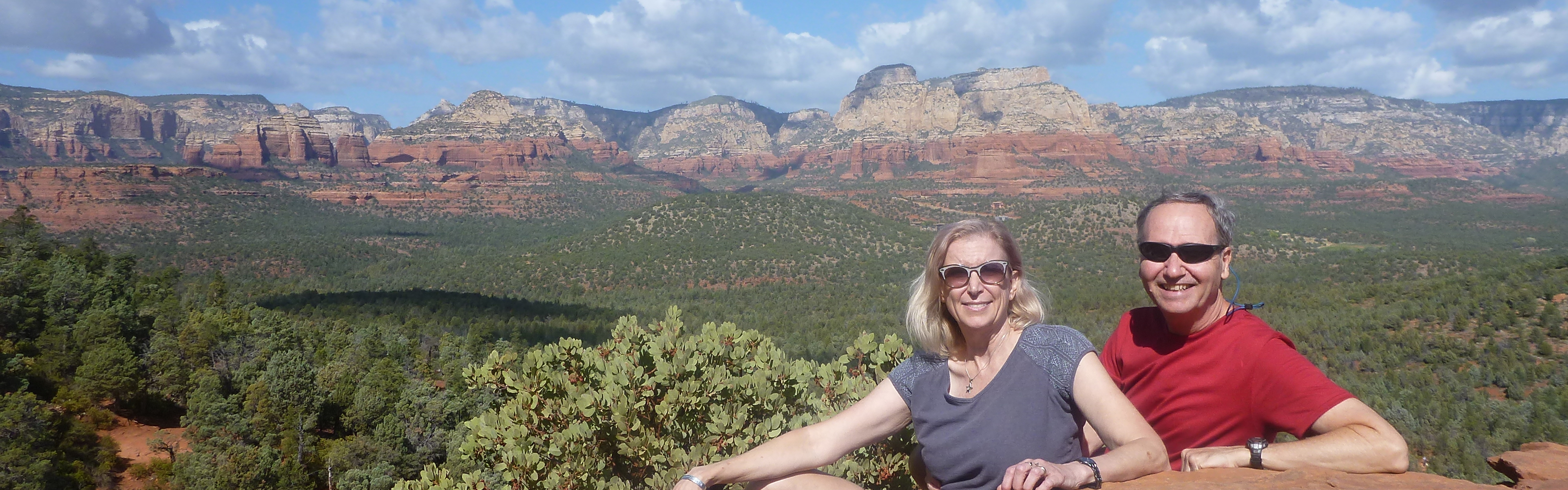
Paul & Bebop take in the view
|
As we traveled through Sea Ranch, CA we stopped at a small trail and
hiked to a place called "Walk-On Beach." You didn't actually just walk
right on, there was a trail, then many stairs down to the beach. But we
got there and had it all to ourselves. Despite the sun, the 63º air was
quite chilly in the strong wind.
 |
Walk-On Beach
|
 |
Walk-On Beach all to ourselves
|
We visited Monterey Bay by boat to do some whale watching (or whale washing, for fans of Modern
Family). Elena and I quoted every line from the Seinfeld Marine
Biologist episode. We saw many birds, quite a few sea lions, some
Risso's dolphins, and several humpback whales. We watched a mom and calf
for a while, then found a playful humpback doing a lot of rolling and
fin slapping.
 |
Humpback Fin - waving
|
 |
Humpback Whale - Touchdown!
|
 |
Humpback Whale Tail
|
 |
Humpback blowhole
|
 |
Humpback back
|
 |
Humpback mom and calf
|
 |
Sea Lions
|
For our final days along the cool coast, we headed south on Hwy 1 into the Big Sur area. We made several stops along the scenic road and even found a cool arch/cave at Garrapata State Park. We spent the night at the Pfieffer Big Sur State Park, and stopped at the Los Lobas park on our way back out.
 |
Cave/arch at Garrapata SP
|
 |
The cold and frothy Pacific Ocean
|
 |
Elena and the sea, rocks, and clouds
|
 |
Those are all Pelicans on the beach at Los Lobos
|
 |
Talus piles made a cave
|
 |
Looking up from deep in the piles.
|
 |
Elena emerges
|
 |
The reservoir at the end of the cave.
|
Our final vacation stop was the adjoining parks of Kings Canyon and
Sequoia. We spent the first night in Sentinel Campground in Kings
Canyon. This is a glacier carved canyon in the granite of the Sierra
Nevada. The Kings River is one of the clearest I've seen, and the pools
have a greenish tint to them.
 |
Looking into Kings Canyon
|
 |
Meadow and granite in Kings Canyon
|
 |
Beautiful Kings River
|
 |
In Kings Canyon
|
That night, we slept with the small
side awning windows open to enjoy the cool air. About 5:30am I was
lying awake in bed when I heard a loud grunting noise just outside my
window. I pulled the shade down and found a black bear looking right up
at me. It backed away a little, then circled the camper before wandering
off. Fortunately, I had placed a trail camera on the back corner of the
van, and it caught the video of the bear.
We spent a couple of days in Sequoia National Park and did a number of hikes - up mountains, and down into caves. The Crystal Cavern is a marble cave, and is one of the better caves we have toured. The trees are amazing - so enormous that photos can't really capture it. They can live to be 3,000 years old.
 |
Elena is tiny next to the majestic Sequoia
|
 |
Too big to hug
|
 |
A grove of sequoia trees.
|
 |
In front of one wide tree.
|
 |
Crystal Cave
|
 |
Moro Rock - from way below.
|
 |
Moro rock - from the top after we climbed up.
|
Driving through the area around Fresno we saw a stupid MAGA Republican almond grower sign along the road that said "Governer Newsom, stop stealing our water." This is a moron growing almonds in a desert area that only receives about 14" of rain per year. They have an extensive system to import water from many other areas hundreds of miles away to irrigate their crops. They are pumping groundwater so fast that underground storage is dropping 100 feet per year. The land is all sinking because of the aquifer depletion - in some cases over a foot per year. This is, ironically, causing damage to the extensive surface water delivery system (most of which comes from northern California). Yet, this excessive extractor of water, who IS the problem, blames the Governor. This is typical of so many issues right now as ignorance, and even stupidity, takes hold of society - nutured and encouraged by the Republican Party.
But on the other end of the spectrum of humanity are the park rangers. Despite Musk randomly removing a quarter of their staff and Republicans slashing funding for our public parks and spaces, they continue to represent what can be good about humans. The parks we visited were understaffed. There are hardly any evening programs now. You never see a ranger on the trails, or out protecting things, because it's all they can do to staff the gates and keep the place operating. Yet, they are always so interesting to talk with and learn from. Some of the parks were suffering from lack of trail maintenance, broken benches, etc. They were already behind on funding, but some catch up effort was being made in recent years, but not it's just a raging forest fire, and the heros are out there doing what they can to protect America's Best Idea.

Without the rangers out, we saw a fair amount of bad behavior in some of htge larger parks. People climging over barriers and trampling the vegatation, parking in roadside areas where there was not enough room, etc. Most of the bad apples tend to stick very close to the roads and parking areas. Once you get about 1/4 mile down any trail, the crowds drop off rapidly, and respectful behavior increases dramatically.
On a lighter note, on every trip we have a few funny events that go into our family lore. There is usually at least one that becomes a running joke or saying. For this trip, the winner came from a walk around our campground at Lassen NP one evening. There was an empty campsite that had chalk writing and drawings all around it. At the entry point there was a solid line drawn that said "Do not cross this line unless you are in campsite 121." Just beyong the line it said "Caution, puppy will lick and chomp." Puppy will lick and chomp became an oft repeated phrase on this trip.
And finally, what trip would be complete without the data.
DATA (I have many charts and graphs here)
|
| Days on the road: 39 |
| Miles Driven: 5,742 miles |
| Average miles/day: 147 |
| Time Driving: 135 hours |
| Avg Speed: 42 mph |
| MPG: 16.6 (vehicle calc); 15.8
(actual) |
| Gas Used: 364 gallons,
average of 9.3 gallons/day |
| Gas Cost: $1281 ($33/day) -
avg of $3.52/gallon |
Where did we stay on our trip? A variety of places:
National Parks (10); State Parks (8); Boondock (7); Private Campgrouns (7); Forest Service Land (3); Municipal Parks (2); National Monuments (1).
I'm always intrigued by teh varity of camping styles at the campgrounds. One one end you have the minimalist. The backpackers and bikepackers carefully consider every item and ounce of weight. On the other end you have the people who seemingly try to bring all of their worldly possesions with them, and set them up around their site. These come in many flavors, from the tent camper, to the trailer puller, to the full sized RV. We tend to fall toward the minimalist end of the spectrum.
Finally, with that many days and miles we hd no issues. The van performed well and everything ran smoothly. I don't say it enough, but I couldn't have a better travel and life partner than Elena. She's a pleasure to be with at home and on the road.
- Paul


