I've travelled to many places in my almost 62 trips around the sun, but I've never been to Tseyi' (commonly called Canyon de Chelly) in NE Arizona. This canyon has been continuously occupied for about 5,000 years. The Anasazi were here from 2500 B.C. to 1300 A.D. The
Hopi were here from 1300 to 1600 A.D., and the Dine' (Navajo) from 1600 to the
present day. In the 1860s, a thriving population of about 8,000 Dine' were forced out by the US Government. The US troops also killed many and destroyed their homes, fruit trees, and crops. Some were eventually allowed to return and began rebuilding. Currently, about 40 Dine' people call the canyon home during the summer only, as they tend crops there.
They don't get much rain here in a year - about 10 inches. As the old joke says, "We only get 10 inches per year, but you should be here the day it comes." I think we got to experience most of it thanks to a very heavy and late monsoonal flow. It's been raining here almost since we arrived. On Sep 22nd (the autumnal equinox), we got some breaks - but not enough, as you'll read about below. Statistically, we are here during one of their sunniest periods (on average), but this year was an exception.
One way to see the canyon is from the inside. A few Dine' residents will give private jeep tours into the canyon. We scheduled a tour with Eleanor of Ancient Canyon Tours, but she called about 30 minutes before departure and said too much water was flowing out of the canyon, and she wasn't comfortable driving in. She arranged for us to tour with Daniel at Beauty Way Tours at 1pm.
You can also see the canyon from above via two different rim drives - the north rim (26 miles out and back) and the south rim (36 miles out and back). When our morning tour was cancelled, we drove the south rim.
 |
One of the canyon forks
|
 |
Vertical, sculpted walls
|
There were several ancient dwellings in the cliffside, and I used my zoom camera out to capture them from the rim.
 |
Mummy caves behind Paul, then zoomed (like a pair of eyes), then really zoomed.
|
After the morning drive, we returned to the camper and prepared for our 3-hour tour (remember, Gilligan's Island was also a 3-hour tour). There were a few light showers around at 1pm when we headed into the canyon. Our guide drove back and forth across the river, which was fairly high, but not impassible. Then, about 15 minutes later, a large cell developed over us. The water was pouring down over the canyon walls and the roads became rivers. Two other vehicles near us said they were going back, and they turned around. Daniel seemed unfazed and on we went.
 |
A few photos during the intense storm and flooding in the canyon
|
The rain finally slowed, and we saw First Ruin and several petroglyph sites.
 |
Petroglyphs at the top and First Ruin on the bottom - zoomed out, then in.
|
We had to squeeze around a 100+ year old cottonwood tree that had fallen across the road. Before we could get to the next ruin, we were stopped by a washed out jeep trail. A small river was flowing down from a side canyon and had completely washed out the trail. We could go no further.
 |
See the road on the other side - our path was washed out by the flood
|
We headed back, and made a few more stops on the way out. Our 3-hour tour became a 2-hour tour, but at least we weren't past that side canyon when the trail was washed out - or stranded in the canyon. We would have been stuck in the canyon for a while if we had already passed the spot where the road washed out.
What we did see was beautiful. We asked Daniel to tell us what the story of Kokapelli, as that figure appeared in some of the petroglyphs. I was expecting a short tale, but he gave us a lengthy and interesting story as told by his ancestors. We made it safely out of the canyon, though the river was deep in a few places.
 |
A few scenes from the canyon
|
That evening, we took the north rim scenic drive and the rain finally stopped about an hour before sunset. We stopped for a few overlooks and made it to the famous spider rock to cap off the day. According to their local legend,
Spider Woman lives
at Spider Rock in Canyon de Chelly. She was first to weave the web of
the universe. She taught the Navajo how to weave, how to create beauty
in their own life, and to spread the "Beauty Way" teaching of balance
within the mind, body & soul |
A nice overlook
|
 |
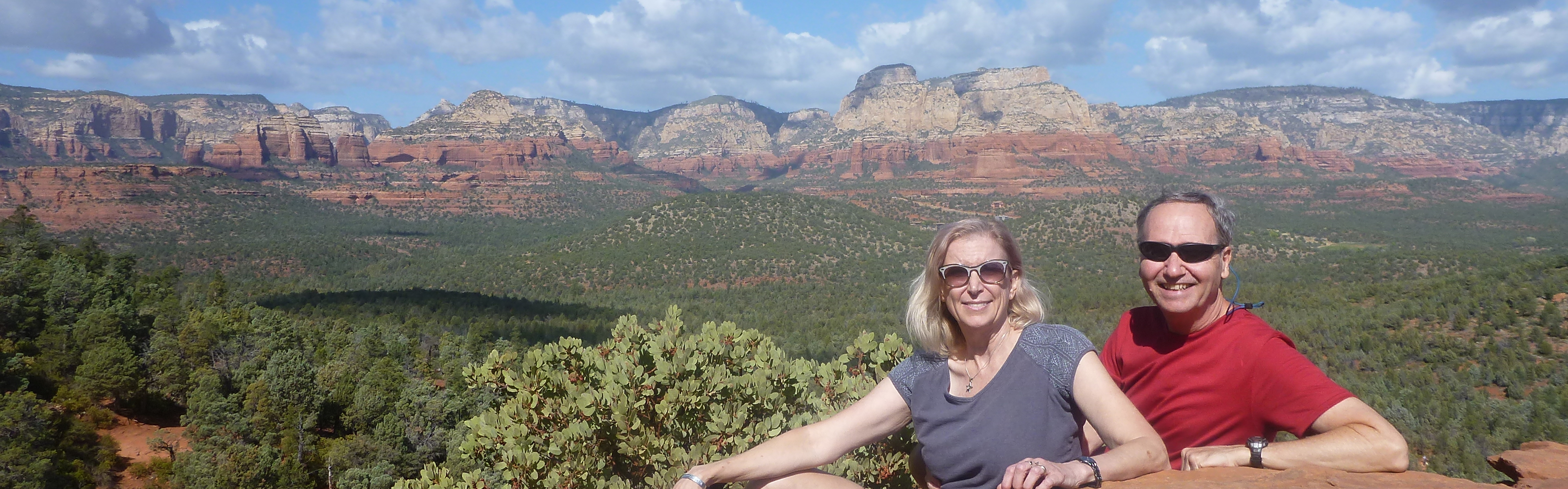
Spider Rock over Elena's left shoulder
|
It's the next morning and the sky is clear, the humidity is low, and the monsoon flow has moved out - sunny days ahead.
UPDATE: April 2025
The above post was from September 2022. We returned here on April 10, 2025 and had clear and sunny skies with perfect temperatures. No flash flood this time - in fact, the canyon was very dry.
In the morning, we took a 3-hour jeep tour inside the canyon with Elenor of Ancient Canyon Tours. She grew up here and had many amazing stories of her childhood and extended family in the area. She seemed to know everyone in and out of the canyon. We got to see several ruins up close, and many pictographs and petroglyphs.
 |
Occupied for hundreds of years over a thousand years ago.
|
 |
Side view
|
 |
Structures in the cliff.
|
 |
An art gallery - left edge is Kokopelli on his back.
|
In the afternoon, we drove the south rim and visited all the viewpoints. Spider Rock remains a favorite.
 |
Bebop and Paul at Spider Rock
|
 |
Elena at Spider Rock
|
 |
Spider Rock
|
 |
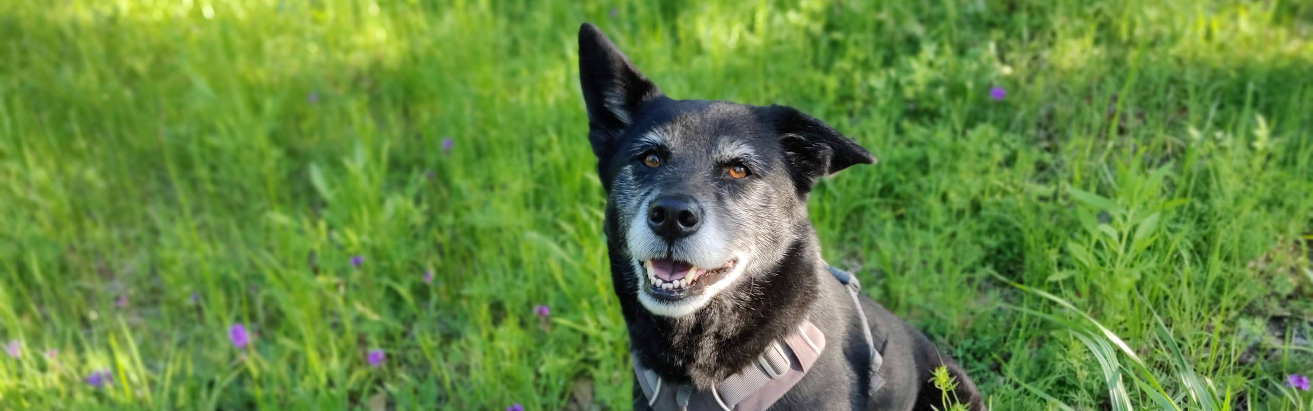
Bebop is happy to be at Spider Rock
|
- Paul